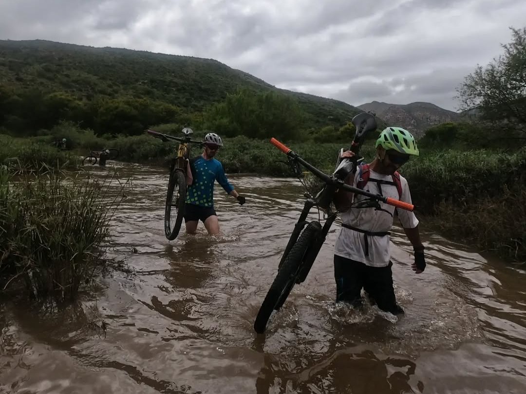
Trans Baviaans was founded in 2004 as a one-shot ride from Willowmore, in the Karoo, to Jeffrey’s Bay on the Indian Ocean. The finish has changed a few times over the years; initially, the race ended at Kabeljous, at the eastern edge of town, then it moved to the Fountains Mall, and finally to the current finish at Mentors Country Estate. The main part of the route has largely remained constant, though, exiting Willowmore through the Poortjie Private Game Reserve before joining the R332, which traverses the Baviaanskloof Nature Reserve in an easterly direction towards Patensie. On just two occasions in 22 years, flooding has enforced a change, with 2011 setting the Langs Baviaans benchmark.
15 years ago, a flood just weeks before the race enforced a last-minute change. Rather than following the valley between the Baviaanskloof and Kouga Mountains, the EcoBound team took the race north-east of the Baviaanskloof Mountains. Following the foothills, the course is more undulating, only reaching the first main feature after 139 kilometres when it drops steeply towards the Grootrivier crossing.
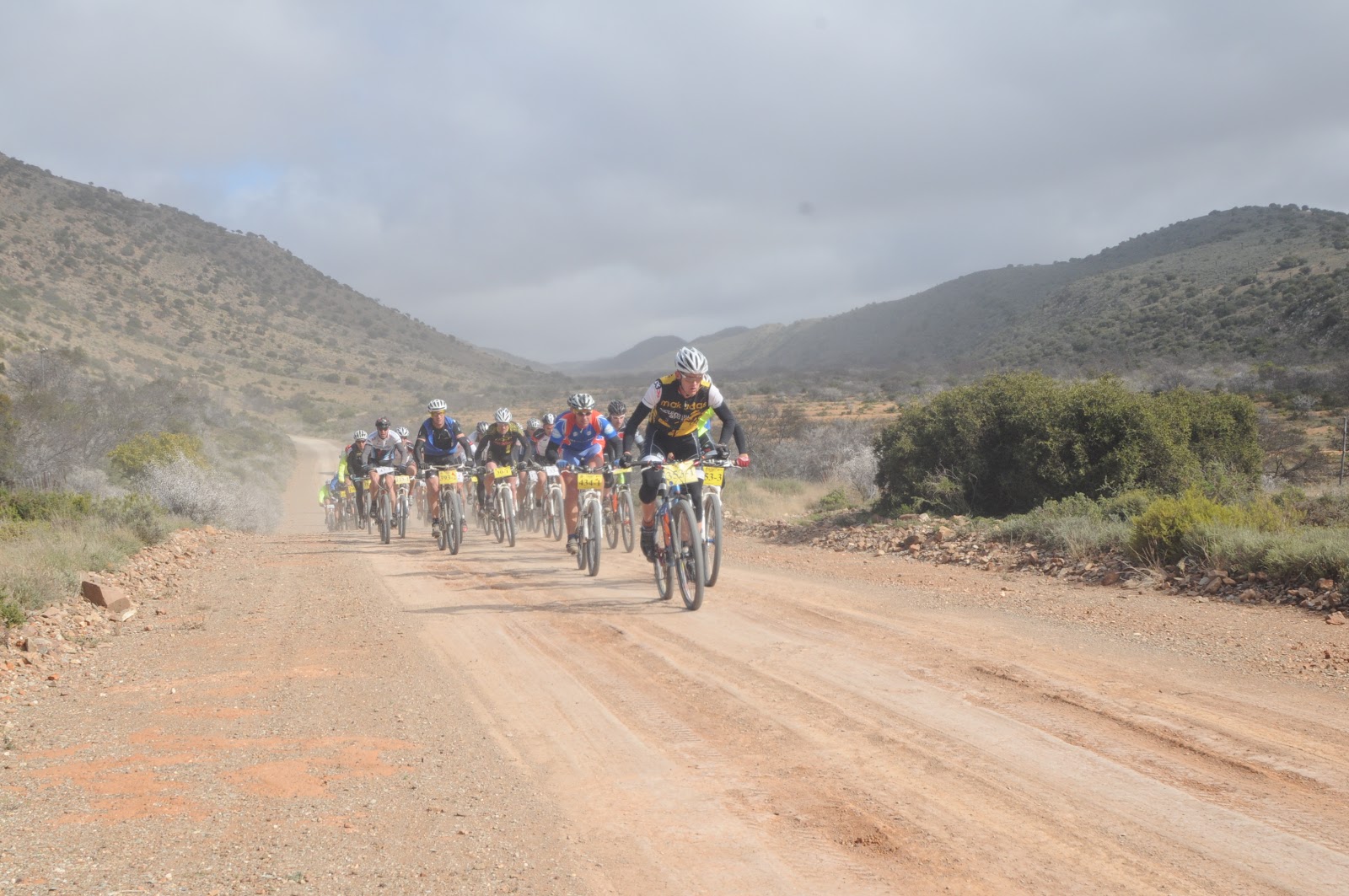
The last time the Trans Baviaans went Langs Baviaans.
After a 4-kilometre descent, the route kicks steeply uphill, ascending what was dubbed the Father of All Climbs for 17 brutal kilometres. The early part of the climb is the steepest, challenging with a 12% average gradient for the first 2.5 kilometres. Thereafter it eases off to 5% for 5 kilometres, before a brief bit of respite with a mid-climb descent followed by another 9% ramp to Die Toring.
From the summit, the course descends towards Patensie, crosses the tar road and rejoins the traditional course at the foot of Neverender.

The route as it’ll be in 2026. Click the image to view it on Garmin Connect.
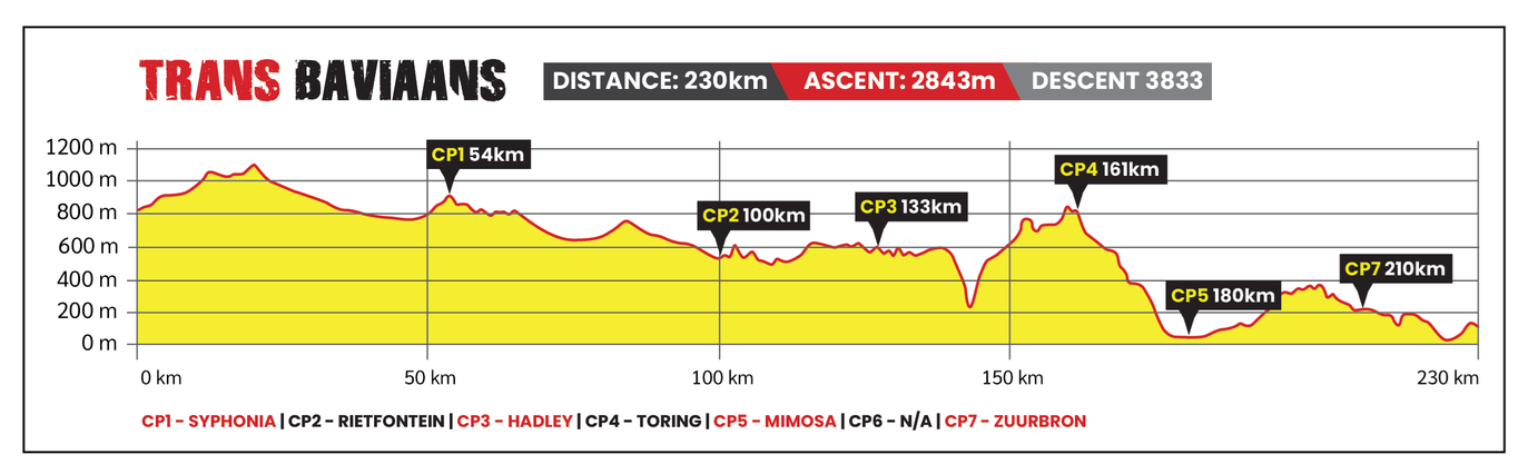
300m less climbing over the 230km course.
What’s The Langs Baviaans Like?
We did a bikepacking trip from Willowmore in January 2024 and followed the exact route of this year’s Trans Baviaans for the first 179 kilometres. Admittedly, the roads were dusty and dry, rather than rutted from heavy rains, when we rode it, but the landscape hasn’t changed. Here’s a look at some of the photos and a video from that ride…
-
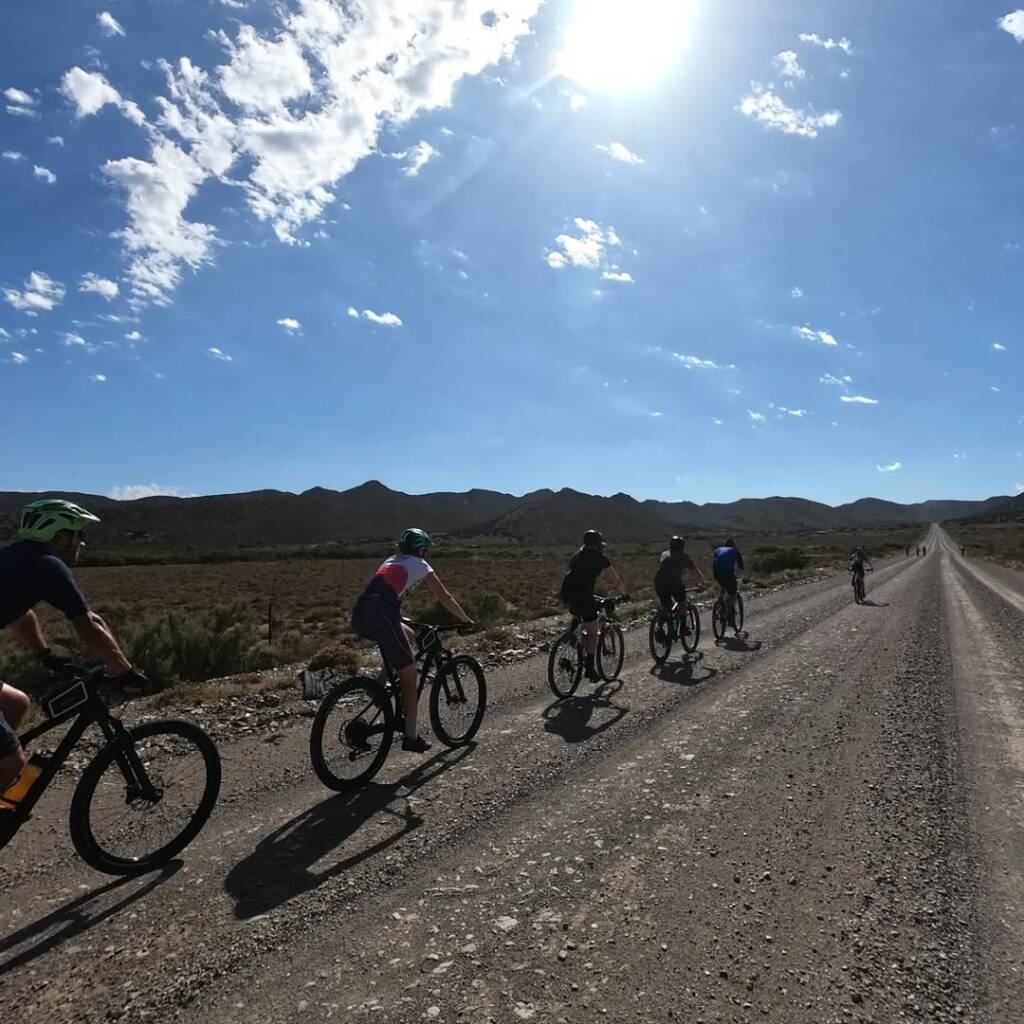
- The early kilometres undulate on broad gravel roads.
-
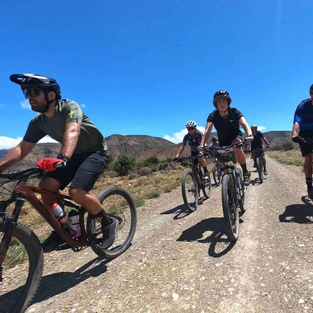
- Undulate in a generally downhill direction, but not as much as the traditional route.
-
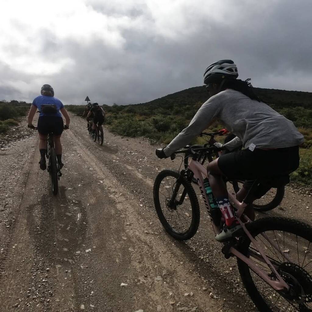
- There are some draggy climbs to conquer in the first 130km.
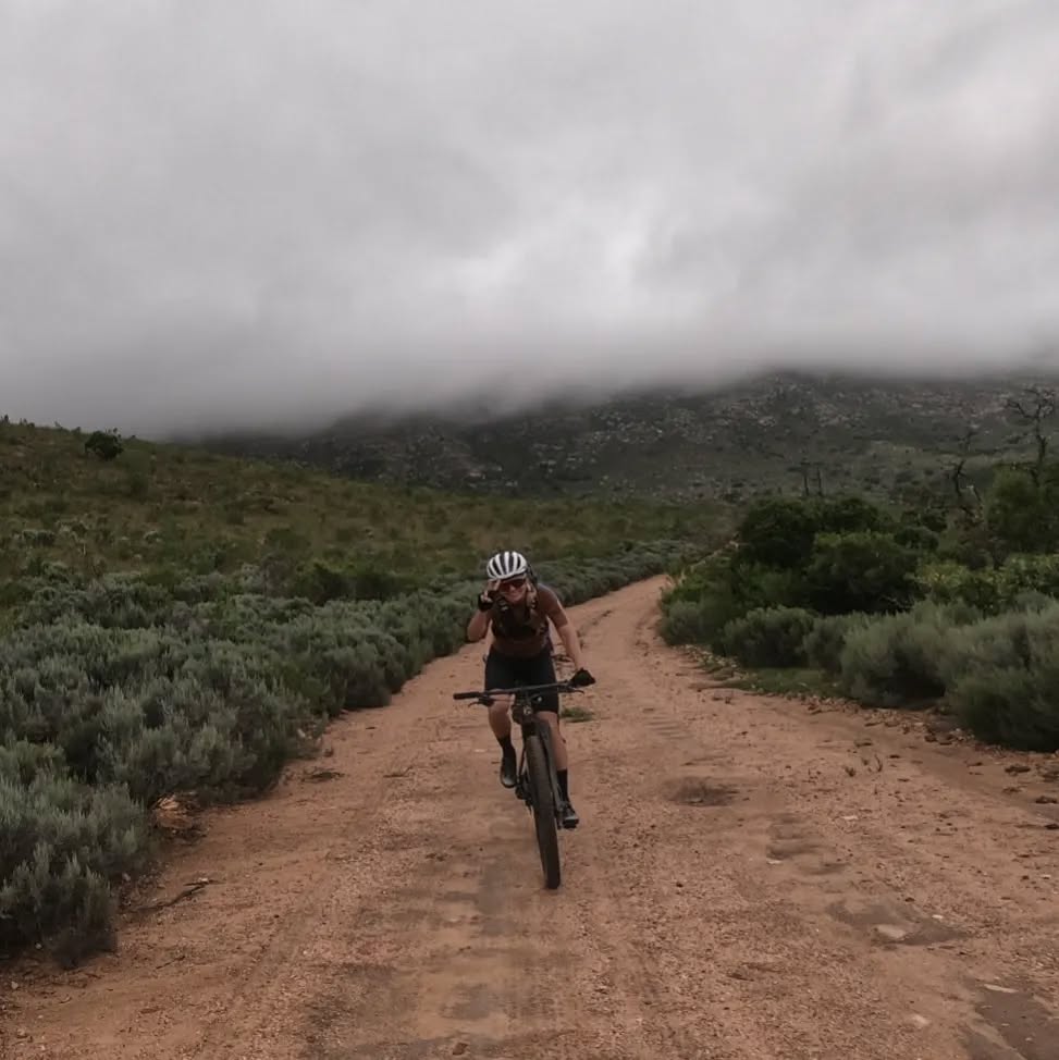
After 138km you start to descend towards the Grootrivier crossing.
-
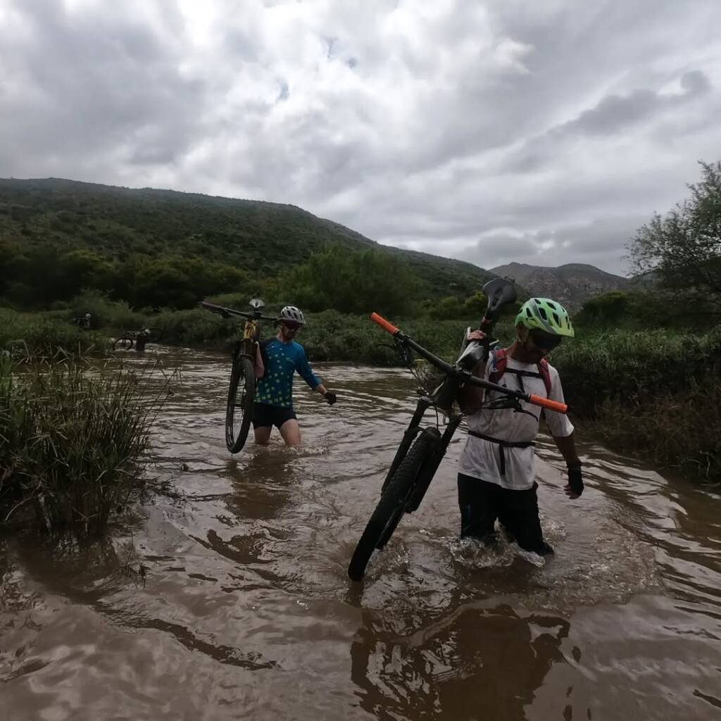
- The Grootrivier will be living up to its name.
-
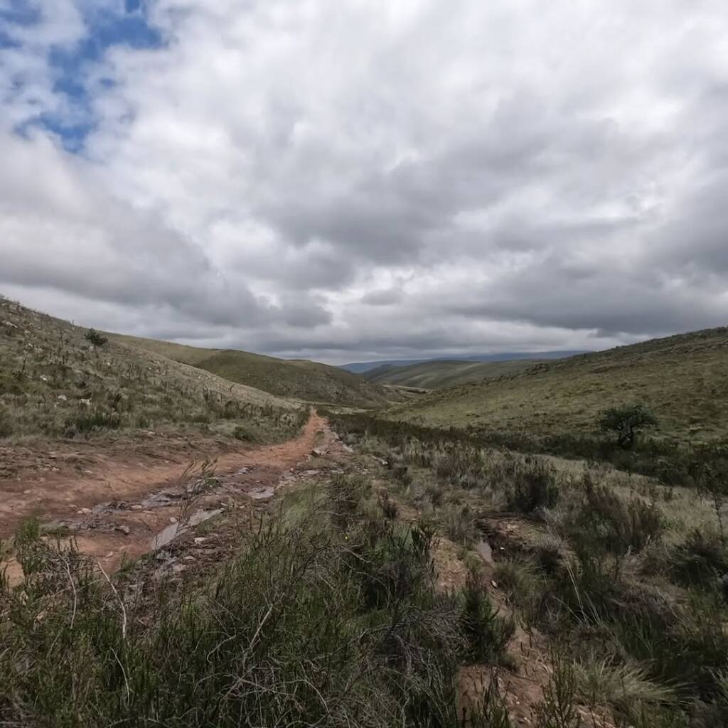
- And the Father of all Climbs… Ja, no, well fine.